Tips & Tricks for a successful HORIZON-CL6-2027-01-BIODIV-01 proposal
Opening
20 April 2027
Deadline
Keywords
biodiversity
remote sensing
in-situ observations
FAIR principles
ecosystem mapping
EU ecosystem
interoperable framework
decision suport
AI/ML
Your microfluidic SME partner for Horizon Europe
We take care of microfluidic engineering, work on valorization and optimize the proposal with you
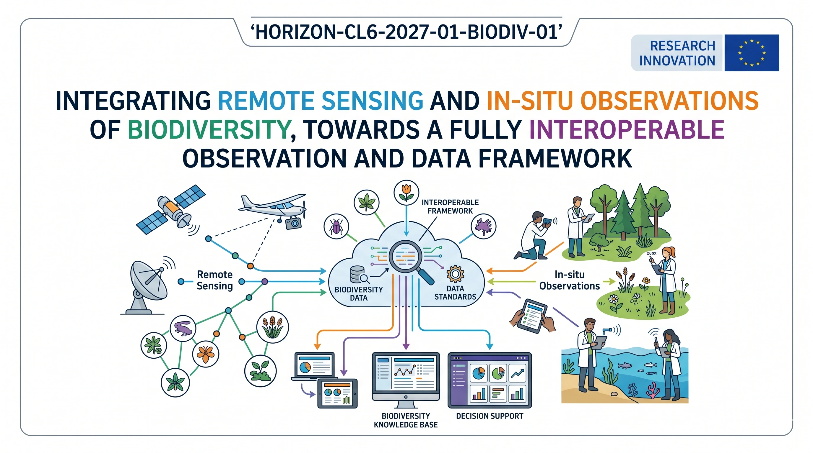
HORIZON-CL6-2027-01-BIODIV-01: Integrating Remote Sensing and in-situ observations of Biodiversity, towards a fully interoperable observation and data framework
Bridging satellites and ground samples is what the Commission is after here. Most existing in-situ biodiversity collections (genomic assessments, drone surveys, ground plots) were never built with satellite remote sensing integration in mind. This call funds the technical work to fix that, under FAIR principles, with AI in the picture from day one. Two RIA projects will share the budget.
Download the MIC Horizon Europe 2026/2027 Calls Calendar:
Discover more!
Administrative facts: what do we know about the HORIZON-CL6-2027-01-BIODIV-01 call?
Which call is it, and when is the opening and the deadline?
- Call name: Call 01 – single stage (2027)
- Call identifier: HORIZON-CL6-2027-01
- Destination: Biodiversity and ecosystem services
- Topic: HORIZON-CL6-2027-01-BIODIV-01
- Opening date: 20 April 2027
- Deadline: 22 September 2027
- Type of action: RIA (Research and Innovation Action)
What about the budget and estimated size of the project?
- Overall indicative budget for the topic: EUR 10.00 million
- Indicative number of projects: 2
- Expected EU contribution per project: around EUR 5.00 million
- Grant type: lump sum contribution
What are the key eligibility and evaluation conditions?
- Standard eligibility: General Annex B applies
- JRC: may join selected consortium as beneficiary with zero funding, or as associated partner; the JRC will not participate in proposal preparation or submission
- Satellite data constraint: if proposals use satellite-based Earth observation, positioning, navigation or related timing data, they must use Copernicus and/or Galileo/EGNOS (additional data sources may supplement but cannot replace)
- Cooperation expected: with GBIF, OBIS, LUCAS (including LUCAS grassland) and EMBAL
- This topic is part of the Biodiversity cluster of the EC-ESA Earth System Science Initiative (ESSI)
Scientific range: what does the Commission expect from the HORIZON-CL6-2027-01-BIODIV-01 grant?
What outcomes are expected?
The Commission desires FAIR data systems that span from genomic tests to satellite imagery and that, in fact, inform habitat classification, ecosystem mapping, and biodiversity trend modelling. The resultant workflows should be useful to the researchers and the decision-makers at project end to address the requirements of policy in the context of the EU Biodiversity Strategy 2030, the Kunming-Montreal Global Biodiversity Framework, and the EU Nature Restoration Regulation. It is not publications that the Commission is seeking.
What is within scope?
- Multisensory data integration combining omics-based data (genomic, transcriptomic, metabolomic), in-situ ground sampling, drones, airborne sensors and satellite-based Earth observation
- Habitat classification, ecosystem mapping and biodiversity trend prediction: Predictive analytics and AI/ML applications.
- Member States and Associated Countries: Coverage on the terrestrial, freshwater and marine ecosystems.
- EU ecosystem typology and habitat demonstration cases where the habitat or ecosystem is under pressure or is a restoration priority.
- Socio-economic, climate, agriculture, forestry and fisheries data linkage to observation datasets
- Harmonization protocols, standardized metadata, Genome-to-space FAIR data workflows and genome-space FAIR data workflows.
- The connection with European Open Science Cloud (EOSC), European Common Data Spaces and SAGE.
What are the specifically proposed research directions?
- Integrate multisensory data systems using the validation that allows omics-to-satellite harmonization of ecosystem conditions, such as socio-ecological and climatic layers of data.
- Discover and prioritize key gaps in biodiversity knowledge; build data integration structures to support scientific discovery and policy reporting.
- Build demonstration cases, according to EU ecosystem typology and EU-NIS, of AI-assisted ecosystem and habitat mapping; interoperability with EUNIS and the Global Ecosystem Typology.
- Deliver processing instructions, harmonization processes and FAIR datasets; check datasets on known cases of analysis usage.
- Support common definitions, metadata standards and data quality harmonisation on platforms down to the genome and up to orbital observation.
Scientific strategy: what can you do to increase your chances of funding by HORIZON-CL6-2027-01-BIODIV-01?
Which scientific decisions are the most important?
- Model the proposal based on deployment barriers, and not data volume. Assessors also desire to know how you overcome the interoperability gap, rather than the amount of data that you produce. The work programme is quite clear: it is not a quantitative problem, but rather a structural one.
- Keep AI in the centre but describe what it is. The abstract mentions of the concept of machine learning will not please reviewers. State what it is used to do: satellite imagery habitat classification, trend prediction using time-series omics data, something tangible.
- Plan to report policy on a day-one basis. Connect outputs of your data to Habitats Directive, Birds Directive, Marine Strategy Framework Directive and Nature Restoration Regulation reporting requirements. You will lose points in case an evaluator is unable to view the pipeline of the policy.
- Plan the Copernicus/Galileo integration. This is a difficult qualification requirement. Do not place it as a footnote, it should be an evident methodological decision, which should be justified.
- Coordinate your work packages with JRC and KCBD. The JRC can become a part of one later after the selection; the existence of a consortium that envisions this is a sign of maturity to the evaluators.
- Encompass at least two ecosystems (terrestrial and freshwater or marine). A single ecosystem will appear too limited regarding a call with a EUR 5 million budget per project.
Consortium and proposal-writing plan: what works best with this type of call?
- 10 to 14 partners, a few more if you have to encompass the three domains of the ecosystem sufficiently. It is a data infrastructure call, hence large organisations with actual data holdings win over numerous small stakeholders with small holdings.
- Partner balance: research infrastructures such as LifeWatch ERIC, eLTER and DiSSCo, national environmental agencies, EO labs, omics centres, and at least one innovative SME with field-deployable monitoring tools.
- It is more valuable here than partners who merely use those databases, and the partners of actual GBIF or OBIS data pipelines.
- Geographic spread matters. Cover Mediterranean, Atlantic, Continental, Boreal biogeographic regions, and ideally a marine basin.
- Do not bury the integration architecture in WP6. It is the project.
- On the writing side: introduce the gap in the story, not the technology story. The Commission expresses it almost word-for-word in the scope text.
How would microfluidics contribute to this topic?
Traditional biodiversity surveillance ceases with what can be observed, counted or photographed. Nonetheless, many biodiversity conditions at the ecosystem level cannot be seen by remote sensing: microbial community structure, eDNA signals in soil or water, and functional gene expression. There are genomic workflows that run in the lab which are slow, expensive and difficult to scale up to the density of field sampling that this call demands.
- Lab-on-chip systems are capable of taking DNA extraction and amplification to field deployable devices. Suppose you wish to establish a robust in situ monitoring system for wetland ecotones. It is impossible to send each sample to a central lab and at the same time generate data in time to train AI models. That equation is modified by portable microfluidic eDNA capture.
- Microfluidic tools to prepare the sample of multi-omics (transcriptomics, metabolomics, genomics) of the same environmental sample, in a standardized workflow, would benefit your consortium. That is important when you need to create training datasets of scale that is FAIR-compliant.
- Droplet microfluidics means it is possible to sort and sequence single-cells or single-organisms in high throughput and generate precisely the type of resolved omics data the work programme has identified as a priority to integrate with Earth observation. The same compound, another organism, another function in the ecosystem.
- Microfluidic biosensors can report functional diversity indicators of water or soil in near-real time to bridge the time gap that is currently present in the satellite revisit frequency gap. The integration of high-frequency on-site biochemical data and satellite imagery can be considered one of the least studied avenues of integration in modern biodiversity surveillance.
Microfluidics is at the very interface that this call is struggling to get between genomic observation and spatial observation, at the scale the Commission requires. A more standardized and compatible in-situ data layer in your proposal will be the presence of MIC‘s microfluidic sensing and sample preparation capabilities within your consortium.
The MIC already brings its expertise in microfluidics to Horizon Europe:
H2020-NMBP-TR-IND-2020

Microfluidic platform to study the interaction of cancer cells with lymphatic tissue
H2020-LC-GD-2020-3
Toxicology assessment of pharmaceutical products on a placenta-on-chip model
FAQ – HORIZON-CL6-2027-01-BIODIV-01
Which call is it, and when is the opening and the deadline?
The theme of the BIODIV-01 call is one of a kind: let’s not treat field and satellite data as separate streams, but rather integrate them into a single interoperable observation and data system for biodiversity. The Commission needs a project to fill the gap to provide information on ecosystem status and restoration and to predict biodiversity trends to the policy table.
What about the budget and estimated size of the project?
What are the key eligibility and evaluation conditions?
The call is very broad in terms of data. It includes: satellite Earth observation (Copernicus Sentinels, hyperspectral, ESA biodiversity-related programs), airborne and drone, ground sensors and acoustic, traditional in-situ ecological surveys (including citizen science and omics layers (genomics, transcriptomics, metabolomics, including environmental DNA). The spatial extent is not defined, but would most likely be the EU and its neighbors.
What outcomes are expected?
In the draft so far, we see four things that a successful proposal should convincingly address. First, a giant step in good, policy-relevant assessment of ecosystems, nature conservation, restoration management and biodiversity forecasting. Second, improved capacity for scientific, practitioner and policy users to deal with multiple sensor, platform and biological data (from omics to satellites). Third, the ability to better use ground data as ground truth for training and validating statistical, machine learning, and deep learning-based AI algorithms (most common applications include mapping, species identification, and temporal change). Fourth, align with EU biodiversity and climate change policies, such as the Biodiversity Strategy 2030, the Nature Restoration Regulation, and the Kunming-Montreal Global Biodiversity Framework. If what’s good for sensor fusion isn’t good for policy, it won’t succeed, and vice versa.
What is within scope?
There are a few common elements in calls for interoperability. Work from the end user: which policy or restoration question, which Essential Biodiversity Variable, which decision? Then work up the data stream. Know about FAIR, semantic interoperability and metadata (Darwin Core, EML, ISO 19115, OGC SensorThings, STAC for EO). Link to the European Open Science Cloud (EOSC), Global Earth Observation System of Systems (GEOSS), Group on Earth Observations Biodiversity Observation Network (GEO BON) and EU research infrastructures eLTER, LifeWatch ERIC, DiSSCo, EMBRC. For AI, the training data, training labeling, validation, and uncertainty, not “we will apply deep learning”. The so-what (new product, validated method, new indicator), then the how.
What are the specifically proposed research directions?
This is an invitation to do data integration and observations, not wet-lab. This is not the key point, but microfluidics could contribute to the in-situ data.
In particular, there are four things to contribute. First, portable lab-on-chips for in-situ collection and amplification of environmental DNA (eDNA) and environmental RNA (eRNA), providing reliable molecular signals that can be used in the in-situ database alongside satellite data. Second, microfluidic multiplexed tests for species identification, pathogens, and pollutants, if you want biological data as “movies” and not “still life”. Third, single-cell or drop-based omics on microsamples for datasets that will feed the AI and relate genomes to environmental conditions. Fourth, in-situ tests as sanity checks for satellite habitat or stress data. To be successful, market microfluidics as an integrated system, data will be system-level, not device-level.
Which scientific decisions are the most important?
Based on the experience from earlier BIODIV calls, you would need 10-15 partners across 6-8 Member States or Associated Countries. The typical competitive consortium is comprised of: an Earth observation institute/remote sensing institute with experience with Copernicus or ESA Earth observation missions, biodiversity research institutes/environmental science/ecology institutes with in-situ monitoring networks, a bioinformatics/AI group that has experience with environmental data, data infrastructure partner (preferably already part of EOSC, GEO BON, eLTER, LifeWatch, or DiSSCo), at least one omics/environmental DNA lab, an SME with sensor, biosensor or data platform technology, a policy interface partner (European Environment Agency, EC Knowledge Centre for Biodiversity, or Member State agency). If you only have the “tech” and not the ecology, or ecology but no data engineering and AI, it will be apparent.
What works best with this type of call for the consortium?
In scope: multi-sensor and multi-scales integration; terrestrial, freshwater, and marine ecosystems; AI for biodiversity products; FAIR data infrastructures; synergy with ESA, Copernicus, GEO BON, and EU research infrastructures. Not in scope or at least risky: a project with a single, self-selected group of organisms that will not deliver any interoperable product; a project that will develop technology but does not address a biodiversity question; AI that will not be validated with ground truth; data products with no data governance or sustainability beyond the project lifetime.
How would microfluidics contribute to this topic?
There are some traps for interoperability and observation framework calls. Not making the choice of “interoperability” in the architecture and using FAIR in the wrong way, without schema activity. Creating another portal that will be a “re-inventing the wheel”. AI innovation without data and tests to train. Not addressing social and governance aspects: who will work with data after the project has ended, who will pay to put data in the cloud and how to license in-situ data. And finally, not collaborating with ESA, the EC Knowledge Center for Biodiversity, Biodiversa+, and GEO BON. The Commission is not interested in proposals that do not take into account the European observation system.
Why does microfluidics matter at the interface of this call?
The project has to be 36-48 months. The first 6-9 months should demonstrate a convincing co-design of users’ requirements (policy, Member States, infrastructures), data standards, and the harmonization of a database. The midpoint should demonstrate the ongoing integration of remote and in-situ data for one or two ecosystems, with quantitative results. The end-of-project milestone should demonstrate reusable software, API descriptions, and policy briefings that report to the Biodiversity Strategy 2030 indicators or the Nature Restoration regulation. Have specific tasks identified with partners for EC Knowledge Center for Biodiversity, Biodiversa+, Copernicus, ESA and the relevant European research infrastructures.